LETEL Gains the Aerial Advantage with Drone LiDAR Technology from GeoCue

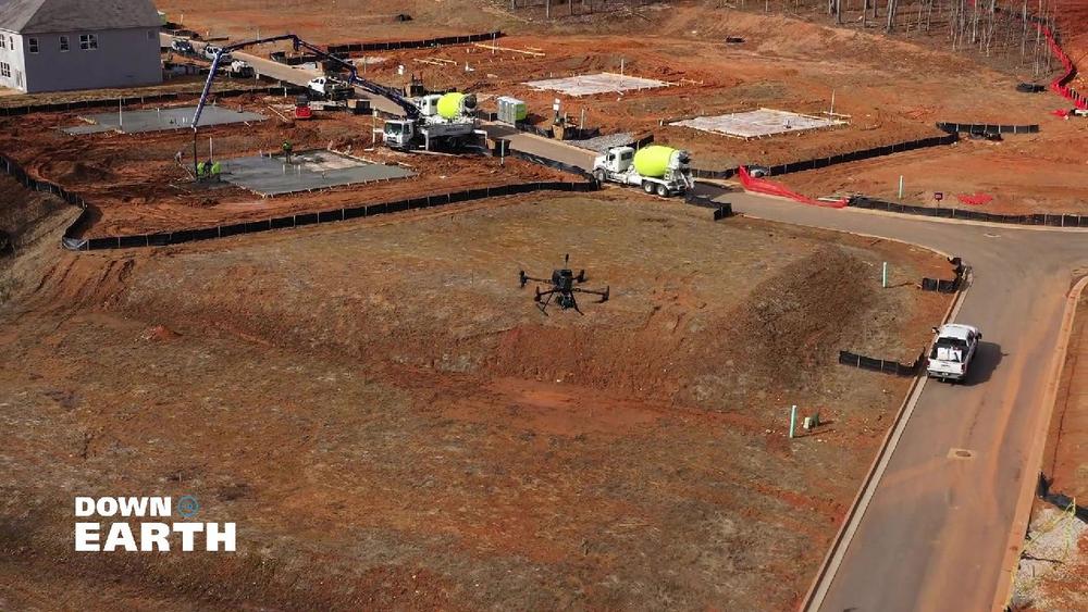
GeoCue, announces the premiere of the latest episodes of its award-winning drone surveying reality series, Down to Earth. The new episodes highlight LETEL, a leader in civil engineering, drone technology, LiDAR, and construction services, and their innovative use of TrueView LiDAR technology and LP360 software to overcome complex surveying challenges in construction services and land […]

continue reading

GeoCue and CHC Navigation Join Forces to Unveil an Exclusive LiDAR Innovation with the New TrueView 540

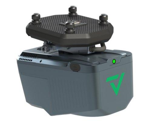
Geo Week 2024, Denver, CO.  – GeoCue, a leading geospatial hardware and software provider, and CHC Navigation, a pioneer in precision positioning solutions, proudly announce the launch of the TrueView 540. This innovative collaboration brings forth a new efficient and flexible survey-grade LiDAR system to North America, introducing an unparalleled combination of the LiDAR payload […]

continue reading

GeoCue Announces Three New TrueView 3D Imaging Systems and Introduces FLEX Pricing Model at Geo Week 2024

GeoCue, a pioneer in geospatial hardware and software solutions, has set the stage for a groundbreaking year with the introduction of three new TrueView LiDAR Systems and an innovative FLEX pricing plan. This strategic move not only solidifies GeoCue’s position as a market leader but also addresses the increasing demand for comprehensive drone mapping hardware. […]

continue reading

Acecore Joins GeoCue Integrated Drone Platforms for TrueView 3D LiDAR Imaging and Mapping

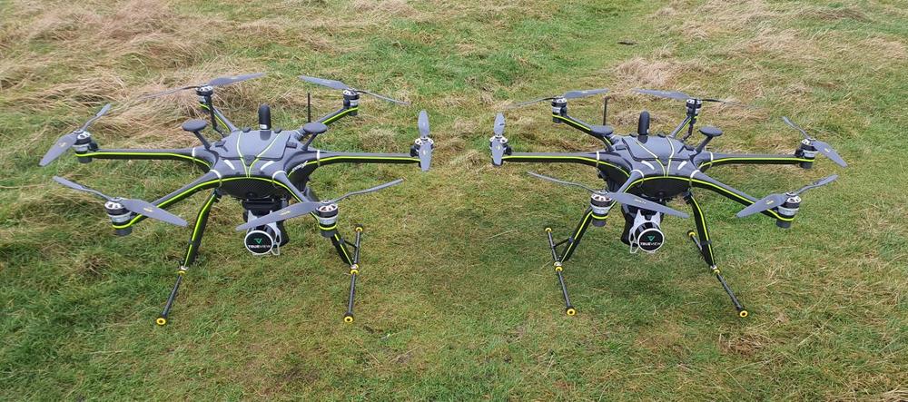
GeoCue is excited to announce that Acecore Technologies, a leading European designer and manufacturer of professional UAV systems, has joined our list of accepted drone providers for integrating our TrueView 3D Imaging Sensors. As part of our commitment to providing customers with complete drone mapping solutions, this partnership with Acecore opens new possibilities for aerial […]

continue reading

Drone LiDAR in Poland: TPI Joins Global Distribution Network of GeoCue

GeoCue is pleased to announce that TPI, the largest supplier of geospatial equipment in Poland, has officially joined the global distribution network of GeoCue. This partnership will help open new opportunities for both GeoCue and TPI to expand their reach and provide cutting-edge geospatial solutions to customers in Poland and beyond. Now available throughout Poland, […]

continue reading

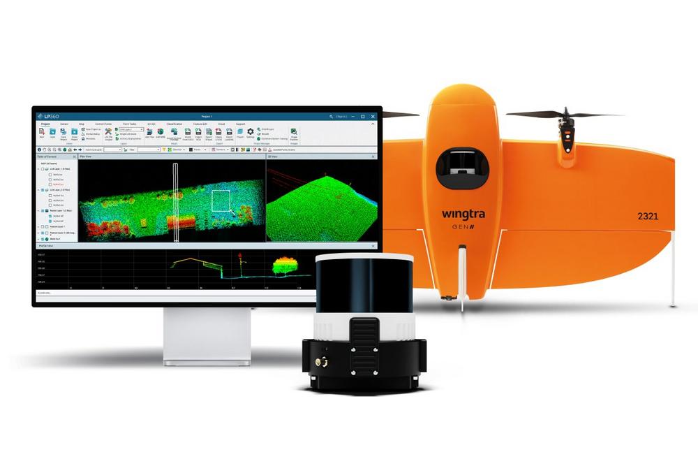
LP360 Drone and Geospatial Software Adds Convenience and Benefits of The Cloud

From the convenience of his office, Frank Darmayan, CEO of GeoCue, is chatting online with team members scattered across the U.S., Europe, and Latin America. Certainly, this is unremarkable in an age where online collaboration is more common than face-to-face meetings. So, why the interest? Frank and his team are simultaneously reviewing a massive point […]

continue reading

GeoCue and Argosdyne Announce Partnership to Expand Drone Mapping Solutions in East Asia

GeoCue, a leader in LiDAR mapping hardware & software solutions, announces its expansion into East Asia through a strategic partnership with Argosdyne, a prominent drone manufacturer and supplier. This collaboration will strengthen GeoCue’s global distribution network and enable Argosdyne to offer TrueView 3D Imaging Sensors and LP360 LiDAR Processing Software to customers in South Korea […]

continue reading

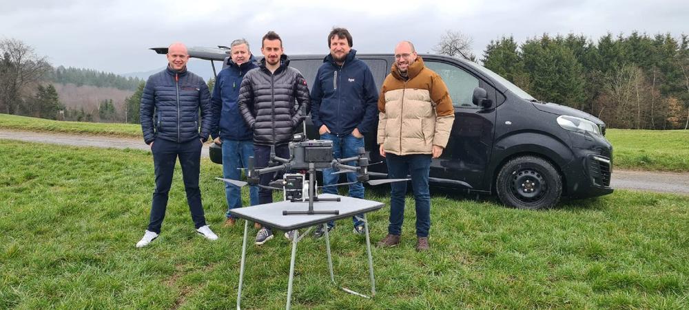
GeoCue poursuit sa croissance européenne avec l’ajout d’HEXADRONE en tant que distributeur français

GeoCue, leader des solutions matérielles et logicielles de cartographie LiDAR, annonce la nomination de HEXADRONE  en tant que son nouveau distributeur en France.. HEXADRONE, PME industrielle spécialisée dans la vente de drones et le développement mécatronique, rejoindra le réseau mondial de distribution de GeoCue afin de fournir les capteurs d’imagerie 3D TrueViewet le logiciel de […]

continue reading